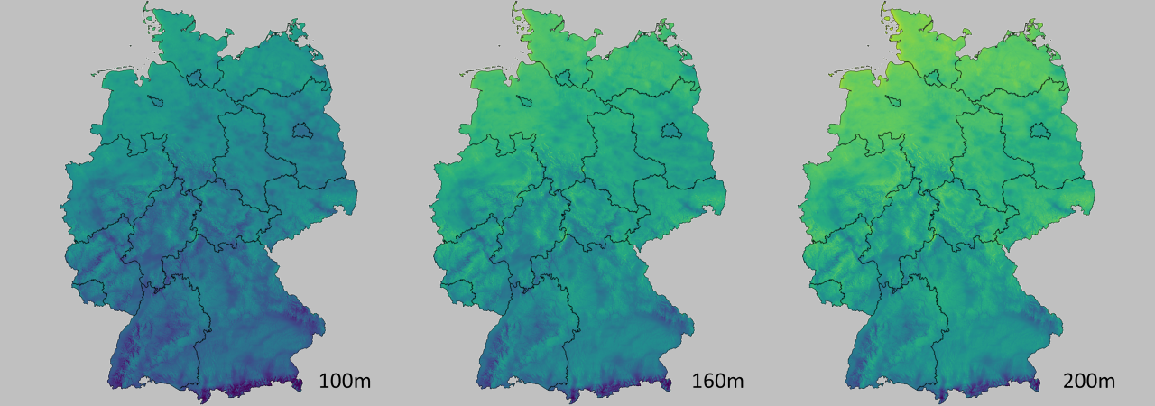
Wind potential maps
GEO-NET Wind Atlases
GEO-NET models the wind flow for each individual area on custom request and considers specific project requirements, such as the land use, which we verify by using satellite images. We answer the question: Where does the most wind blow in this particular area?
Our methodology to produce wind maps and wind atlases is a meso-micro downscaling approach. As mesoscale data various sources are possible (reanalyses like ERA5, downscaling products and New European Wind Atlas timeseries). In-house simulation is done with WRF.
The microscale model used for downscaling is our own FITNAH-3D (CFD model), which is described as mesoscale model as well, because it incorporates prognostic equations for temperature and therefore handles atmospheric stability and it includes Coriolis force. The product of the downscaling can be time-series for arbitrary height above ground and points based on grid resolution down to 50m. Furthermore we can use ground data for adjusting the results, whenever possible and available.
We have successfully passed all ring tests of the German Wind Energy Association (Bundesverband WindEnergie e.V.) Wind Advisory Council and have already created wind maps/atlases for several federal states in Germany and countries/areas worldwide.
An advantage is also that we can intersect the results of the wind field with other maps, such as to electrical grids or nature conservation areas or priority areas to identify the best possible areas for future wind farms to take the further steps such as MEASNET-compliant wind measurements - we are specialized on met mast and LiDAR measurements - and then bankable wind and energy yield assessments, all of which we can also offer afterwards.
How many regions would you like to have calculated and at what size? Don´t hesitate to contact us!
- Wind field simulation via FITNAH-3D for initial assessment of large investigation areas (worldwide)
- Elaboration of wind potential maps or wind atlases for entire countries and larger regions
- Representative studies for project developers and government authorities- smaller wind potential maps possible
