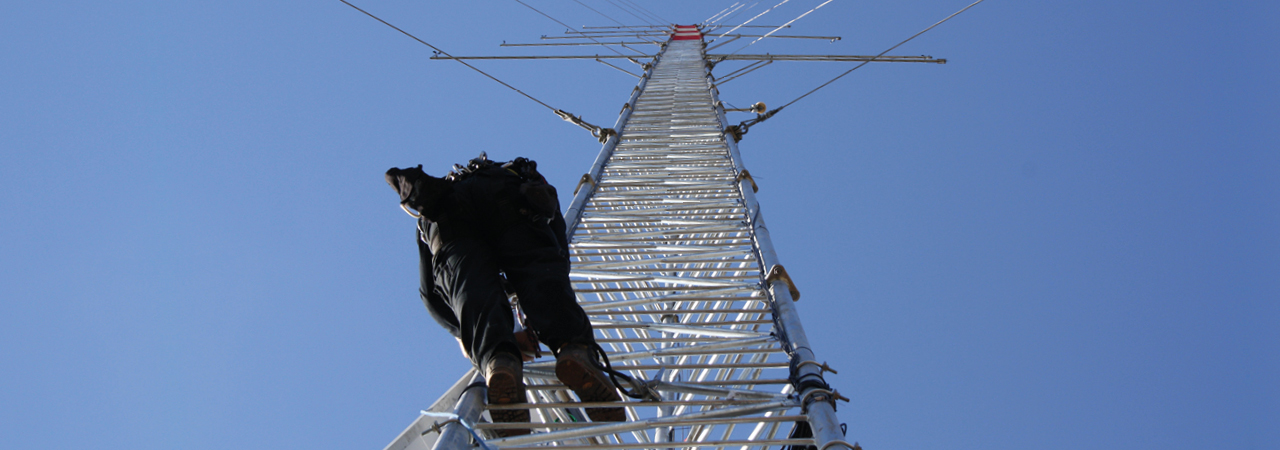
Design of measurement concept
The demands for a wind measurement depend on the location and project. In order to ensure that all necessary guidelines are complied with, we will determine for you the best location for your wind measurement, pay attention to suitable dimensioning of mast and booms and can advise you on the choice of number, kind and measuring height of the sensors. We will also assist you in choosing appropriate remote sensing methodologies such as LiDAR. In this way, a full recognition of the wind measurement campaign can be guaranteed. Furthermore, we will assess the measurement uncertainty in order to provide you with a reliable basis for your planning and for making decisions.
Performing and analysing measurements
High data quality and data availability is not guaranteed only by an optimum measurement concept, but needs support during the whole measurement period.
GEO-NET collects your daily measurement data and provides daily examination of the functionality of the measurement system. Possible problems will be determined and remedied quickly and efficiently.
All relevant parameters of the wind measurement are summarized in regular reports to always keep you up-to-date on your measurement. In all questions related to the measurement constellation and during the entire measurement campaign, we will assist you with support and advice throughout your entire project.
Wind measurement campaigns performed by GEO-NET
- Conception, organisation and realisation of wind measurement campaigns
- Accredited according to DIN EN ISO/IEC 17025:2018
- FITNAH-3D based selection of measurement site
- Use of calibrated anemometers, wind vanes and data logger
- Remote data transmission via GSM/GPRS modem
- Preparation, analysis and interpretation of measured meteorological parameters
- Generation of time series from local measurements and long-term correlation with meteorological data
- Monthly abridged reports
- Pre-rating of the wind potential after 3 to 6 month after start of measurement campaign
- Bankable final report
- Wind potential and energy yield report based on the gauged data
Advantages of GEO-NET
- All services from one single source
- Cost-effective and efficient
- Competent preparation of expertise and development of measuring concepts
- On-site partners for delivery, installation and maintenance of measuring masts
- Rental solutions for equipment and met masts
- Optimized integration in wind and energy yield expertise
